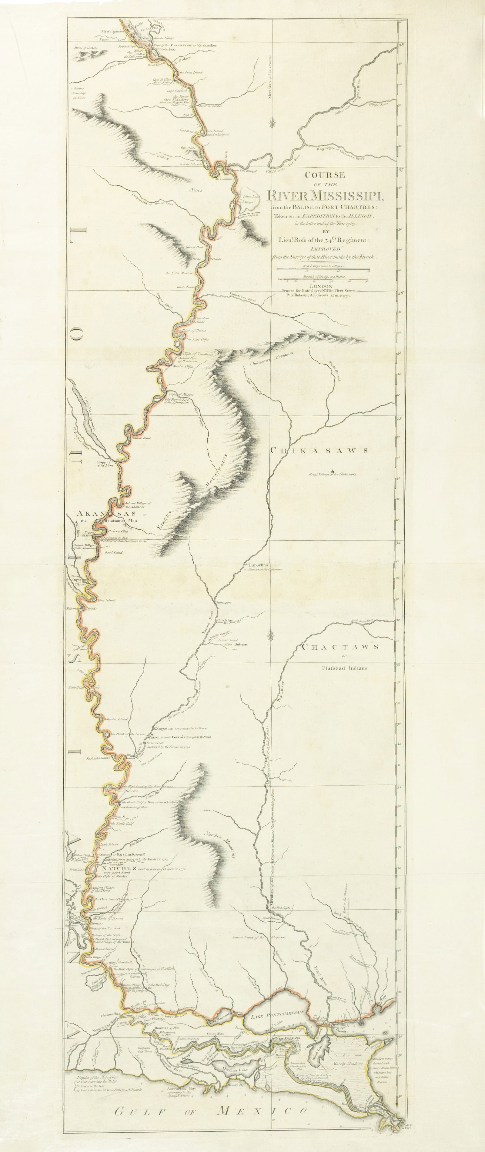
Lt. John Ross Map of the Mississippi - The finest map of the Mississippi made during the
Updated September 3, 2026
| Lot number | 0086 |
| Estimate | $8,000 - $12,000 |
| Opening bid | $7,000 |
| Auction | Arader Galleries October 3, 2026 Auction |
| Date | October 3, 2026 at 1:00 PM EDT |
| Auction house | Arader Galleries |
| Location | New York, New York |
ROSS, Lieutenant John (1744-1809). Course of the Mississippi from the Balise to Fort Chartres; taken on an Expedition to the Illinois in the latter end of the year, 1765. Engraved map with original
Register & bid on this lot at Bidspirit →
More lots in this auction
- Sauthier's map of the course of the Hudson River with exceptional original color
- Lattre Map of the United States, 1792 - The first map of the United States published after the
- Faden Plan of New York Island, 5th State showing progress for the Battle of New York
- Des Barres, Pierie & Newton View of Boston taken on the road to Dorchester - Finest 18th Century
- De la Tour, Carte du Theatre de la Guerre - The Map that brought the French into the American
- Seymour and Birch engraving of City of New York in the State of New York
- French Edition of the Mitchell Map by Le Rouge, Framed in 8 parts
- Faden's Plan of the City and Environs of Philadelphia, 1777