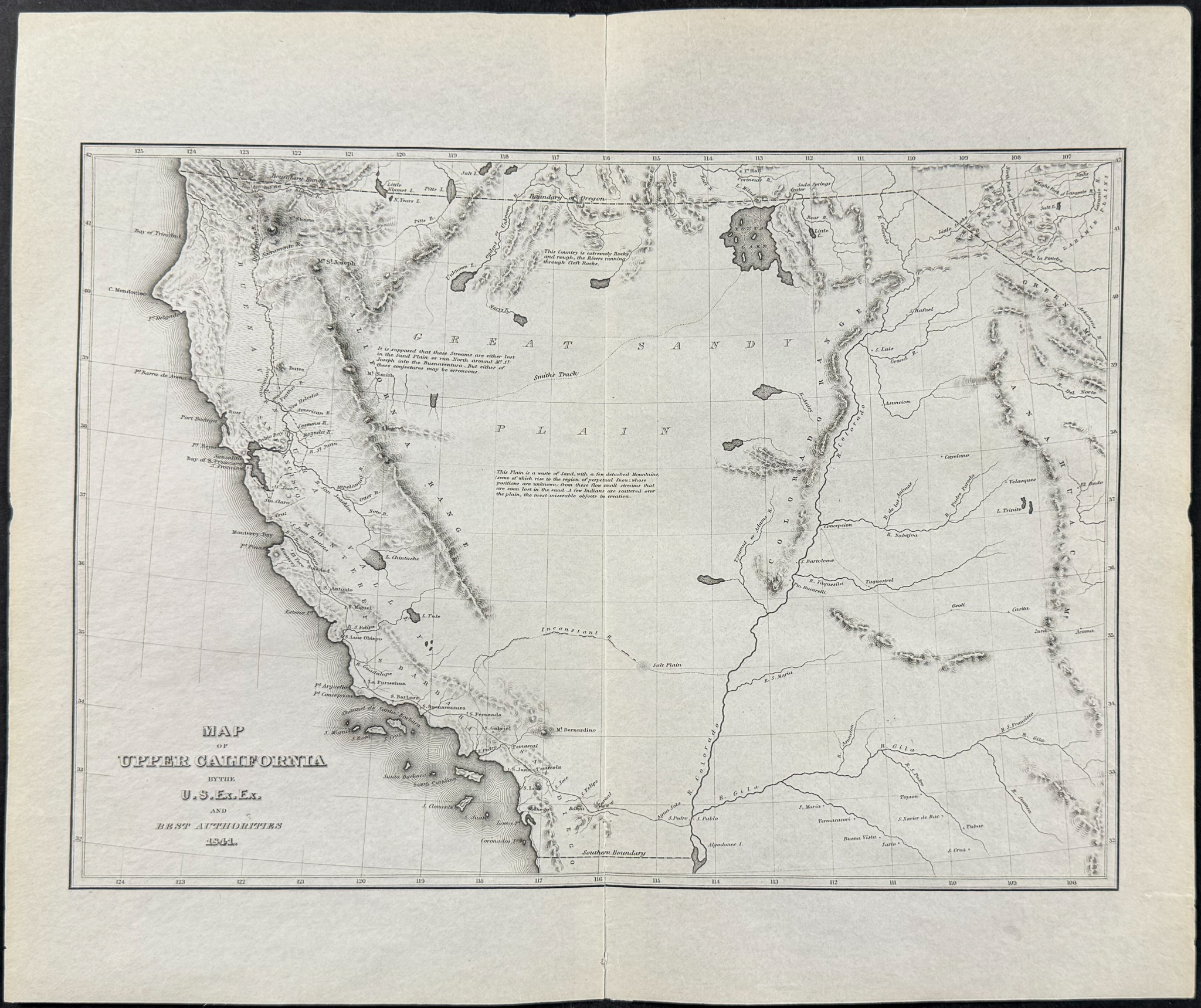
Wilkes - Map of Upper California, 1841
Updated August 5, 2026
This auction ended on August 15, 2026.
See upcoming auctions from Trillium.
| Lot number | 3016 |
| Estimate | $400 - $800 |
| Opening bid | $75 |
| Auction | Antique Prints, Maps, & Books of Natural History, Botanicals, & More |
| Date | August 15, 2026 at 8:00 AM CDT |
| Auction house | Trillium |
| Location | Franklin, Tennessee |
This historic engraving is from Charles Wilkes's Narrative of the United States Exploring Expedition. During ...
More lots in this auction
- Wilkes - Map Illustrative of the Currents and Whaling Grounds (Pacific Ocean)
- Philip, Australia - A View in New South Wales
- Wilkes - Map of the Island of Tahiti
- Philip, Australia - Natives of Botany Bay
- Wilkes - Map of the Hawaiian Group or Sandwich Islands, 1841
- Philip, Australia - The Canoe and Native of Mulgrave's Range
- Arago, Hawaii - The Sandwich Islands [Les Iles Sandwich (Supplices)]
- Philip, Australia - New Holland Cassowary
See all lots in Antique Prints, Maps, & Books of Natural History, Botanicals, & More →